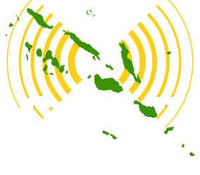

The Solomon Islands is set to have a one-stop-shop database of maps and relevant information that shows decision-makers where risks like flooding, erosion and landslides are high.
From the data collected so far, staff in the Solomon Islands’ Ministry of Environment Climate Change, Disaster Management and Meteorology have observed that flooding in the Solomon Islands has been getting worse over the past few years.
In a statement from the Ministry, Principal Geographic Information Systems officer for Risk Resilient Development, Reginald Reuben said from what he had known, significant flooding started around 2009, and no major flooding in the previous years.


